About
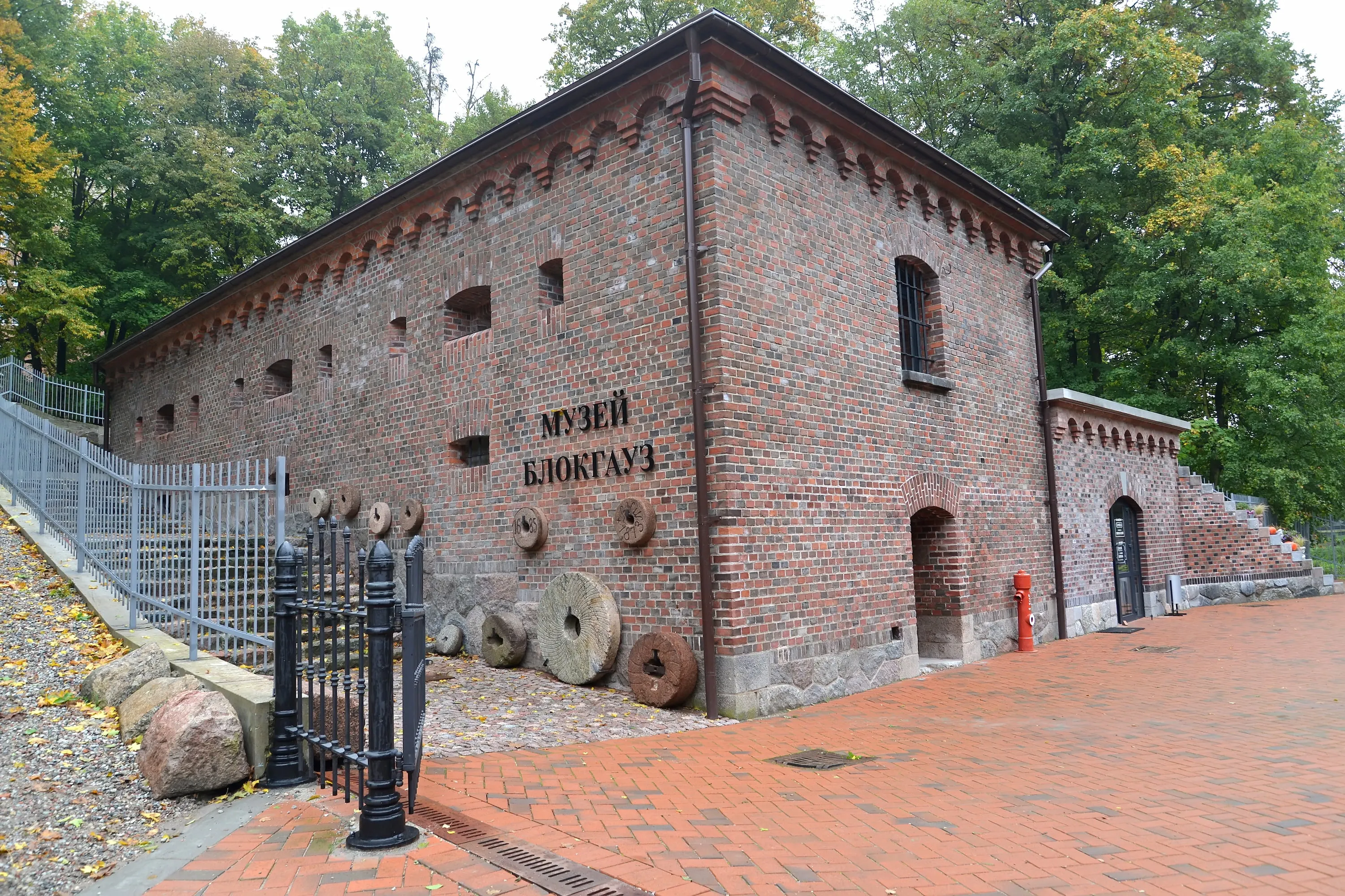
The Lithuanian rampart stretches from the Upper Lake to the Pregolya River. Previously, it had significant defensive importance for the protection of Königsberg, but now it is a cozy park area. While walking along the Lithuanian Rampart, you can get closer to the Oberteich, Grolman, and Kupfertich bastions, the fortress gates, moats, casemates, and barracks of the past era.
Coordinates: 54.715655, 20.533915
Open a map on your phone
Scan the QR code to open the address in your phone's maps


ANO National Priorities uses cookies (files storing data on past website visits) to personalize services and improve user experience. ANO National Priorities treats personal data protection seriously — please review the terms and principles of processing. You can disable cookie storage in your browser settings.