About
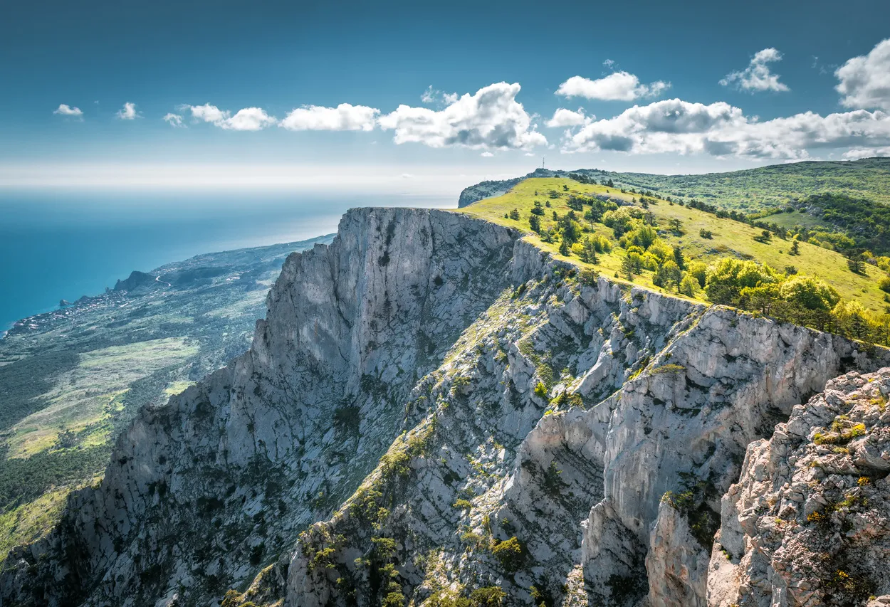
The plateau is located in the western part of the Crimean Mountains' Main Range and includes several peaks. The highest point is Mount Roka at 1,349 meters, while the most popular is Mount Ai-Petri (1,234 meters), towering over Alupka and Koreiz. The slopes feature caves such as Trekhglazka, Geofizicheskaya, and Yalta. The iconic Ai-Petri "teeth" consist of four large and several smaller outcrops along the ridge. You can reach the plateau via the newly renovated cable car, launched at the start of the 2024 tourist season. After reconstruction, its route became shorter, now starting from the mid-station "Sosnovy Bor" on Alupkinskoye Highway instead of the lower station in Miskhor. Alternatively, the shortest hiking route to the summit of Ai-Petri is the Koreiz or Miskhor Trail—a 3.6 km path from the South Coast Highway. If driving, you can stop at Crimea’s tallest waterfall, Uchan-Su, the Silver Gazebo, and Turtle Lake along the way.
Mountain Trails of the Yalta Nature Reserve
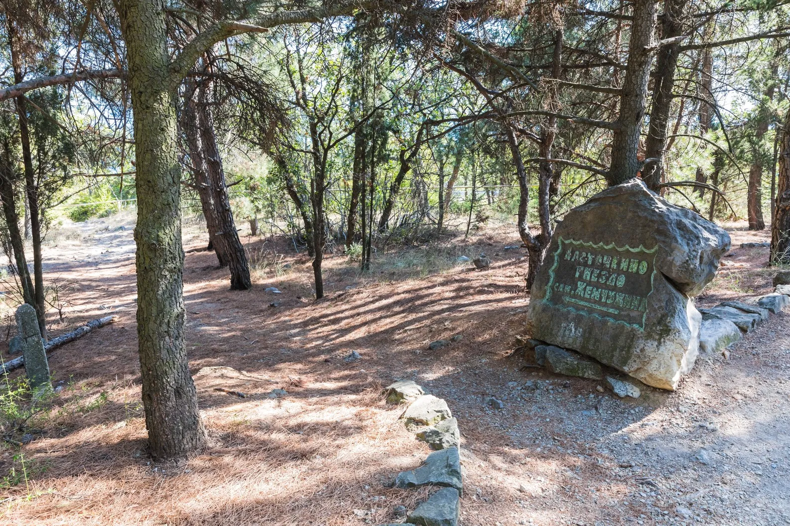
Those ready for physical activity will find nearly 20 hiking routes of varying difficulty levels around Yalta. All trails pass through the reserve and reveal rare landscapes: misty forests, rocky ridges, and sea views from above.
Yalta Historical & Literary Museum
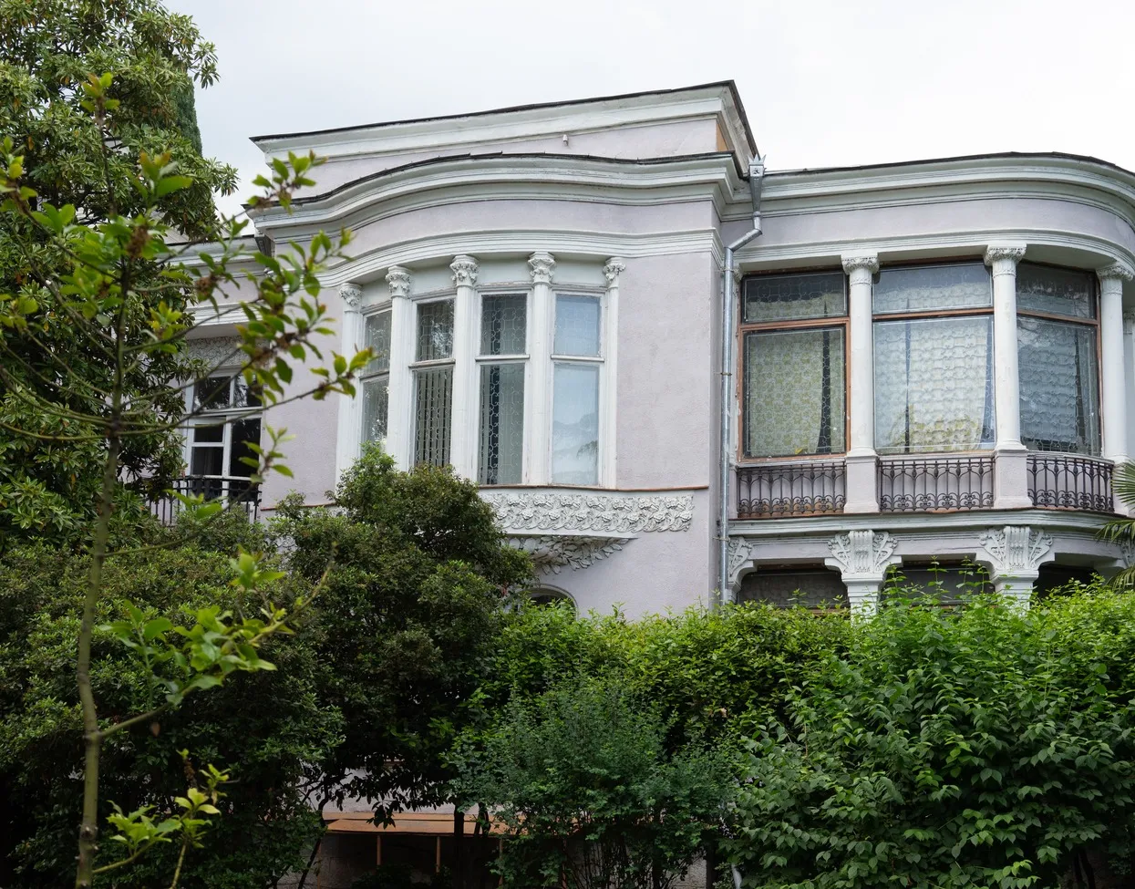
The most detailed account of Yalta’s history is found here. The museum occupies an old mansion on Pushkinskaya Street. Its exhibits cover various facets of the city’s past, with a collection of over 160,000 items—from archaeological finds and documents to household objects and artworks.
ANO National Priorities uses cookies (files storing data on past website visits) to personalize services and improve user experience. ANO National Priorities treats personal data protection seriously — please review the terms and principles of processing. You can disable cookie storage in your browser settings.